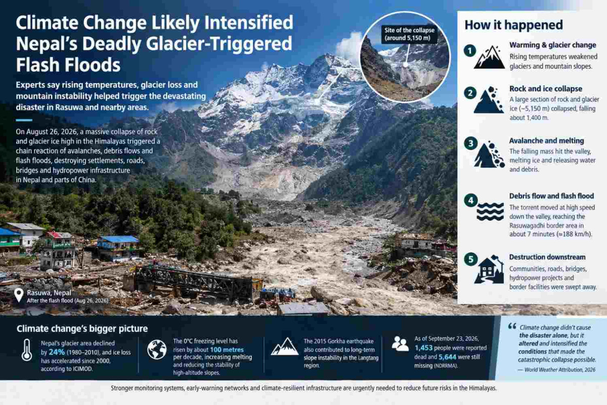
Kathmandu, September 27 — The catastrophic flash floods that swept through Nepal’s Rasuwa district and neighbouring areas of China on August 26 were triggered by a massive collapse of rock and glacier ice high in the Himalayas. New scientific analyses indicate that unusually warm conditions and long-term climate change likely weakened the mountain environment and increased the likelihood of such a disaster.
The disaster began high on Langtang Lirung, where a huge section of rock and glacier ice collapsed from an elevation of roughly 5,150 metres. The falling mass descended approximately 1,400 metres, generating enormous energy and triggering a cascading chain of ice, rock, water and debris downstream. The event produced seismic signals initially interpreted as an earthquake, but subsequent analysis indicated that the signals were generated by the massive collapse itself.
How the disaster unfolded
According to the World Weather Attribution (WWA), approximately two square kilometres of rock wall and glacier ice collapsed. The material crashed into the valley below and rapidly transformed into a destructive debris flow and then a water-dominated flash flood.
As the rock and ice travelled down the steep mountain slope, friction and mechanical energy probably melted some of the ice. The avalanche also struck buried glacier ice, which likely contributed additional water to the flow. Water stored beneath glaciers and in permafrost may have added further moisture.
The resulting torrent of water, ice, rock and sediment moved extraordinarily quickly. WWA estimates that the flood reached the Rasuwagadhi border area, around 22 kilometres downstream, within approximately seven minutes, with an average speed of about 188 kilometres per hour.
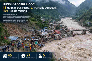
The flood then travelled through the Lhende Khola and Bhotekoshi–Trishuli river system, destroying settlements, roads, bridges, hydropower infrastructure and border facilities.
Why climate change matters
Climate change did not act as a single, simple “trigger” for the disaster. Instead, scientists describe a cascade of hazards in which long-term warming can alter glaciers, snow, permafrost and mountain slopes, potentially making them more unstable.
WWA found that the region experienced unusually warm conditions in the months preceding the collapse. July and August 2026 were particularly warm, while the preceding 12-month period was also exceptionally warm.
Researchers also found that the elevation of the 0°C freezing level has been moving upward at roughly 100 metres per decade during recent decades in the monsoon and post-monsoon seasons. A higher freezing level means that areas that historically remained frozen for longer periods can increasingly experience melting and rain instead of snowfall.
These changes can expose previously ice-covered rock, weaken frozen ground and alter the stability of high-altitude slopes.
Evidence from Nepal’s glaciers
Nepal’s glaciers have been shrinking for decades.
An ICIMOD assessment based on satellite data found that Nepal’s total glacier area declined by about 24 percent between 1980 and 2010, while estimated ice reserves fell by about 29 percent. The study also documented widespread fragmentation and shrinking of glaciers.
The Langtang region is particularly important to this disaster. ICIMOD research has found that glaciers in the Langtang catchment, including Yala, Lirung and Langtang glaciers, lost approximately 25 percent of their area between 1980 and 2010.
More recent ICIMOD research released in 2026 indicates that glaciers throughout the Hindu Kush Himalaya are losing ice at an accelerating rate, with the rate of ice loss having approximately doubled since 2000. The organisation reported that glaciers have lost up to 27 metres of ice thickness since 1975 in some areas.
This does not mean that every glacier collapse or flood is directly caused by climate change. Rather, warming is changing the physical conditions in which these hazards occur.
The role of the 2015 earthquake
Climate change is also not the only factor scientists are considering.
The 2015 Gorkha earthquake caused extensive damage and slope instability in the Langtang region. WWA notes that the earthquake may have contributed to long-term weakening of the mountain environment and altered water storage beneath the affected area.
Therefore, the August 26 disaster is better understood as the result of several interacting processes: geological instability, previous earthquake damage, glacier and ice conditions, unusually warm weather, slope failure and the extreme energy released when the rock and ice mass collapsed.
A cascading disaster
The event demonstrates why Himalayan disasters cannot always be classified simply as either a “flood,” “landslide” or “glacier event.”
The sequence was approximately:
Warming and glacier change → mountain-slope instability → rock and ice collapse → avalanche → ice melting and water release → debris flow → flash flood → destruction downstream
Scientists refer to such interconnected processes as cascading hazards. PreventionWeb describes the August disaster as a cascading hazard in which one natural process triggered several subsequent processes, greatly increasing the final impact.
Human cost and destruction
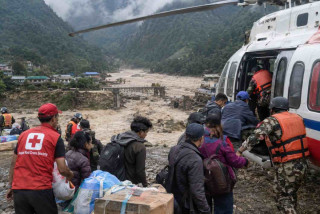
The human consequences have been enormous. Nepal’s disaster authorities continued to revise casualty and missing-person figures as identification and verification proceeded.
By September 23, a situation summary based on NDRRMA figures reported 1,453 deaths and 5,644 people still listed as missing, while search and identification operations continued. The authorities have cautioned that missing-person figures can change as records are verified and unidentified remains are processed.
The disaster severely affected Rasuwa, Nuwakot and Dhading and also caused damage farther downstream. Hydropower projects were among the most seriously affected facilities, with debris entering tunnels and other underground structures.
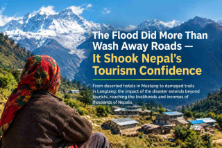
The disaster also highlighted the vulnerability of infrastructure built in narrow Himalayan river valleys, where communities, roads, hydropower projects and border trade routes are concentrated close to rivers.
Warning systems need to improve
The disaster has strengthened calls for better monitoring of Nepal’s high mountain regions.
Researchers and disaster-management authorities have stressed the importance of combining:
satellite monitoring of glaciers and mountain slopes;
seismic and ground sensors;
cameras in high-risk valleys;
river-level and flow monitoring;
glacier and permafrost observation;
improved communication systems;
rapid early-warning mechanisms;
cross-border information sharing; and
disaster-resilient infrastructure.
Following the disaster, Nepal also began efforts to strengthen or rebuild early-warning infrastructure near the China border. Proposed systems include seismic sensors, cameras and satellite-based communications capable of operating when conventional telecommunications fail.
However, early warning has a major limitation in very fast-moving mountain disasters: when a huge rock-and-ice avalanche travels at extreme speed, downstream communities may have only minutes to respond.
A warning for the future
The August 26 disaster offers a wider warning for the Hindu Kush Himalaya.
Nepal is warming in a region where glaciers, permafrost, snow and steep mountain slopes interact closely. As glaciers retreat and high-altitude environments change, hazards that were once relatively isolated can increasingly interact with one another.
The evidence does not support saying that climate change alone caused the Rasuwa disaster. Instead, the emerging scientific assessment is that climate change likely altered and intensified the conditions that made the catastrophic rock-and-ice failure possible, while geological factors and the legacy of the 2015 earthquake also played important roles.
The lesson is therefore not simply to prepare for more floods. Nepal needs to prepare for compound and cascading mountain hazards—events in which glacier loss, unstable slopes, landslides, avalanches, sudden water release and flooding can occur as one connected chain.
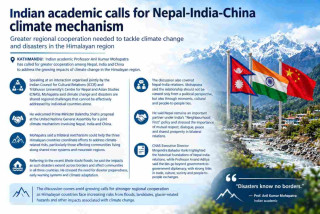
For a country whose communities, roads, hydropower projects and economic corridors are concentrated along Himalayan river valleys, stronger scientific monitoring, early-warning systems, safer infrastructure and regional cooperation will be increasingly important as the mountain environment continues to change.