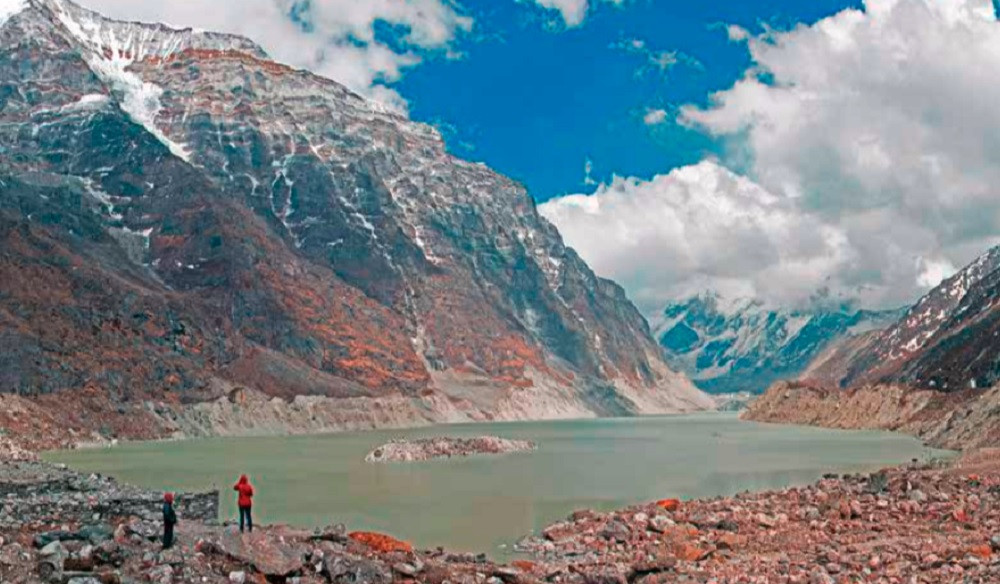
A joint study conducted by the International Centre for Integrated Mountain Development (ICIMOD) and the United Nations Development Programme (UNDP) has raised concerns about the rising number of potentially dangerous glacial lakes (PDGLs) in Nepal, particularly in the Koshi basin. The research, which focused on glacial lakes equal to or larger than 0.003 square kilometers in size, utilized remote sensing techniques and Landsat images from 2015.
The study reveals that a staggering 3,624 glacial lakes have been identified in the Koshi, Gandaki, and Karnali basins of Nepal, as well as in the Tibet Autonomous Region (TAR) of China and India. Of these, 2,070 lakes are situated in Nepal, 1,509 in the TAR, China, and 45 in India. Significantly, 1,410 of these lakes are considered large enough to pose a serious risk of causing a glacial lake outburst flood (GLOF).
The potentially dangerous glacial lakes were identified based on a combination of factors, including the characteristics of the lakes and their dams, the activity of the source glacier, and the morphology of the surrounding terrain. Notably, other critical factors like extreme climatic conditions, seismic activity, and human interference were not considered in this assessment.
Out of the 47 PDGLs identified, a staggering 42 are located within Nepal's Koshi basin, three in the Gandaki basin, and two in the Karnali basin. Geographically, 25 PDGLs are situated within the territory of TAR, China, 21 within Nepal, and one within India.

The study underscores the urgent need for regular updates to glacial lake inventories and the continuous monitoring of PDGLs. Detailed field assessments are essential for risk evaluations, particularly for high-ranking PDGLs, to inform new development projects and enhance the resilience of communities downstream.
Remarkably, the number of PDGLs identified in Nepal by this study remains consistent with a previous assessment conducted in 2011. However, only 13 of these are the same PDGLs identified previously, with eight removed from the list and eight new additions.
To categorize the PDGLs by hazard level, physical parameters of the lakes, dams, and surroundings were considered. Lakes classified under Rank I pose the greatest risk, with the potential for expansion and vulnerability to avalanches, landslides, and dam breaches. Immediate measures for GLOF mitigation are deemed necessary for Rank I lakes.
Rank II and III lakes, while having less immediate risk, still have the potential to grow and require close monitoring. Among the 47 lakes assessed, 31 were classified under Rank I, 12 under Rank II, and 4 under Rank III.

While Nepal grapples with the growing threat of glacial lake outburst floods, it is important to note the recent tragedy in the neighboring Indian state of Sikkim. A flash flood began in the early hours of Wednesday when water overflowed from a mountain lake, smashing through a major hydroelectric dam downstream and pouring into the valley below. This disaster claimed the lives of at least 41 people, carried bodies kilometers (miles) away, and forced thousands to flee their homes, serving as a stark reminder of the potential consequences of glacial lake outburst floods.
The study highlights the importance of examining socioeconomic parameters such as settlements, infrastructure, and agricultural land along river valleys downstream to assess GLOF risk reduction strategies effectively. As Nepal and its neighboring regions confront the increasing risks associated with glacial lakes, policymakers and experts are urged to prioritize risk reduction measures, infrastructure development, and comprehensive monitoring systems to safeguard the lives and livelihoods of communities in the region.