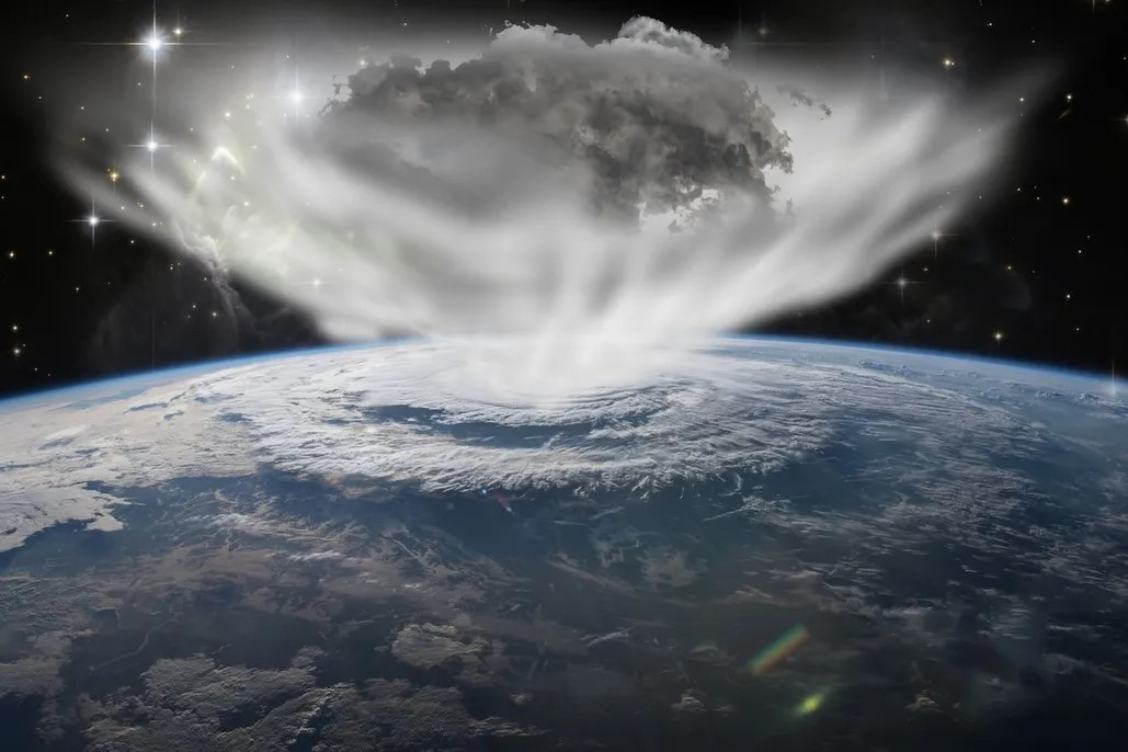

Kathmandu, September 24, 2026 — Nepal is experiencing widespread rainfall under the influence of a deep depression over the west-central and adjoining northwestern Bay of Bengal, with the weather system expected to continue affecting the country in the coming days.
According to the Department of Hydrology and Meteorology (DHM), Nepal is currently under the influence of monsoon winds along with a partial influence of westerly winds. The deep depression over the Bay of Bengal is moving west-northwestwards, and its associated moisture is contributing to increased rainfall activity across Nepal.
The system has already produced heavy to very heavy rainfall in several parts of the country. Meteorological authorities have warned that rainfall activity will remain significant through the coming days, particularly from September 25 to 27, increasing the possibility of floods, landslides, river-level rises and inundation in vulnerable areas.
Heavy rainfall already recorded
The impact of the weather system has already been observed across several provinces.
According to the latest update from the Meteorological Forecasting Division, Lumbini Province experienced heavy to very heavy rainfall during the past 12 hours, while heavy rainfall was also recorded in parts of Koshi and Gandaki provinces. Light to moderate rainfall is continuing in several parts of Koshi, Madhesh, Bagmati, Gandaki and Lumbini provinces.
Rainfall measurements reported from stations include 123 millimetres at Bhagwanpur in Kapilvastu, 117.8 mm at Mainar, 91.4 mm at Simlapani in Arghakhanchi and 131 mm at Baldyanggadhi in Palpa during the preceding 12-hour period.
Heavy rainfall has also been reported in parts of Tanahun, Kaski, Sindhupalchok, Khotang and Sankhuwasabha.
Heavy to very heavy rainfall forecast today
The DHM has forecast generally cloudy conditions across most of Nepal today.
Koshi, Madhesh, Bagmati, Gandaki and Lumbini provinces are expected to remain mostly cloudy, while Karnali and Sudurpaschim will remain generally cloudy.
Moderate rainfall accompanied by thunder and lightning is likely at many places in the hilly and mountainous areas of Koshi, Bagmati, Gandaki and Lumbini provinces, with similar conditions possible at some locations in the hills and mountains of Karnali and Sudurpaschim.
In the plains, moderate rainfall with thunderstorms is expected at many places in Madhesh and the Tarai areas of Koshi, Bagmati, Gandaki and Lumbini provinces. Some parts of the Sudurpaschim plains may also receive rainfall.
The department has warned of heavy rainfall at a few places in Koshi, Bagmati and Gandaki provinces, and at one or two places in Madhesh and Lumbini. Very heavy rainfall is possible at one or two locations in the hilly areas of Koshi and Bagmati provinces.
There is also a possibility of strong winds or windstorms at some places in Madhesh and the Tarai areas of Koshi Province.
Rainfall to continue into the night
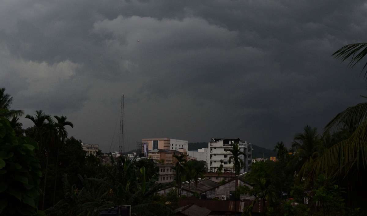
The weather is expected to remain unsettled tonight, with cloudy conditions prevailing over much of the country.
Moderate rainfall accompanied by thunder and lightning is likely in many parts of the hills and mountains of Koshi, Bagmati, Gandaki and Lumbini provinces, and at some places in Karnali and Sudurpaschim.
Heavy rainfall is possible at several locations in Koshi, Bagmati, Gandaki and Lumbini, while one or two places in Madhesh could also receive heavy rain.
The DHM has also indicated the possibility of very heavy rainfall in one or two locations in Koshi and Lumbini provinces, along with strong winds in parts of the plains.
Higher risk from September 25 to 27
Although the deep depression is expected to gradually weaken after moving inland, its influence is expected to continue producing significant rainfall over Nepal.
Meteorologists have identified September 25–27 as a particularly important period, with heavy to very heavy rainfall expected across several parts of the country. Gandaki and Lumbini provinces have been identified among the areas facing heightened rainfall risk, while isolated locations could experience extremely heavy rainfall.
Earlier forecasts had indicated the possibility of prolonged rainfall from around September 24 to 28. Forecast models have varied in their estimates of rainfall intensity and location, making continuous monitoring and updated forecasts important.
Saturated ground raises flood and landslide concerns
The immediate concern is not only the amount of rainfall but also the condition of the ground and river systems after weeks of monsoon activity.
Continued rainfall can further saturate already wet slopes, increasing the likelihood of landslides and debris flows in vulnerable hilly and mountainous areas. Rivers and streams may also rise rapidly, while low-lying urban and Tarai areas face the possibility of waterlogging and inundation.
The concern is particularly significant in locations already affected by recent floods, landslides and infrastructure damage. Fresh rainfall could complicate ongoing rescue, relief, recovery and reconstruction activities in such areas.
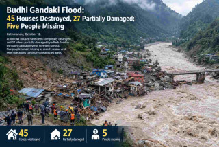
Recent reporting has also highlighted concern over already disturbed and debris-filled slopes in Rasuwa and Nuwakot, following the major disaster in the Bhotekoshi–Trishuli corridor in August.
Authorities urge caution over travel
With rainfall expected to intensify, the Meteorological Forecasting Division has advised the public to take precautions, particularly during the period of September 25–27.
The department has advised people to avoid unnecessary long-distance travel during the period, as persistent rainfall could increase the risk of landslides and flooding along major roads.
People currently trekking or travelling in Himalayan areas have also been advised to exercise caution. The Meteorological Forecasting Division has urged trekkers in the Himalayan region to suspend trekking activities, while those already on trekking routes have been advised to move towards safer and lower elevations because of the possibility of heavy rain and snowfall.
Kathmandu Valley also likely to receive rain
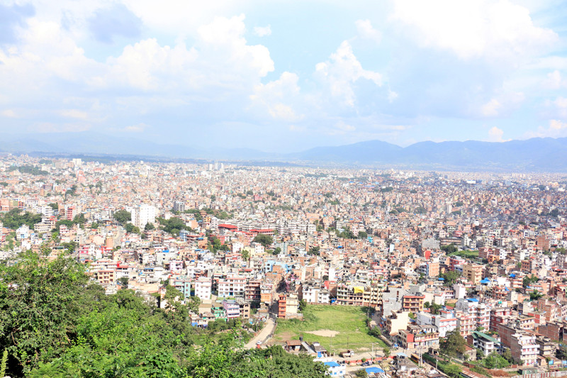
Kathmandu Valley is also expected to receive rainfall today.
Meteorologists have indicated that moderate rainfall is more likely in the Valley, although isolated locations could experience heavier rainfall.
Residents should remain alert to possible waterlogging, particularly in areas with inadequate drainage, low-lying settlements and locations already affected by previous rainfall.
Public urged to follow official warnings
Authorities have urged residents, particularly those living near rivers, streams, steep slopes and other hazard-prone locations, to remain alert and follow official weather and flood warnings.
People are advised to:
- Avoid unnecessary travel during periods of heavy rainfall.
- Avoid crossing swollen rivers, streams and flooded roads.
- Remain alert for signs of landslides, cracks or unusual movement on slopes.
- Keep away from riverbanks and low-lying flood-prone areas during intense rainfall.
- Follow evacuation instructions issued by local authorities.
- Rely on official weather and disaster information rather than unverified information circulating on social media.
- Take additional precautions in areas already affected by floods, landslides or other disasters.
The DHM provides real-time weather and flood information through its warning systems. The department's toll-free number 1155 provides access to extreme-weather and flood information, with options for weather forecasting and flood early warning.
Weather system requires continued monitoring
The current weather system should not be confused with a cyclone. It is presently classified as a deep depression over the Bay of Bengal. While the system is expected to weaken after moving inland, its moisture and associated atmospheric conditions can continue to influence rainfall over Nepal.
For Nepal, the key concern remains the duration and intensity of rainfall, particularly in areas where soil is already saturated, rivers are elevated or infrastructure has been weakened by previous disasters.
With the possibility of heavy to very heavy rainfall continuing over the next several days, timely warnings, local preparedness and community-level response will remain crucial in reducing the risk to lives, livelihoods and infrastructure.